The Problem of Joshua’s Ai
View at YouTubeWith Titus Kennedy contributing, Joel Kramer argues that the “Problem of Ai” is not actually a problem: the biblical description of Joshua’s battle at Ai (Joshua 7–8) matches the geography and archaeology of the site et‑Tell, and newer excavations show clear Late Bronze I occupation and a fiery destruction consistent with the biblical account.
Geography and battle narrative
- Using Genesis 12:8 and Joshua 8, Ai can be located east of Bethel; from the known site of Bethel, flying east brings you directly to the fortified mound of et‑Tell, whose Arabic name (“the ruin”) parallels the meaning of Ai (“ruin”).
- The topography around et‑Tell fits the Joshua 8 narrative: a broad ridge north for Israel’s visible main camp; a valley between that ridge and the city; a hill to the west suitable for a hidden ambush of 5,000 men; and, wilderness and the Arabah to the east where Israel feigned retreat.
- The video walks through the battle step‑by‑step with aerial and 3D visuals: Israel camps north, sets an ambush west, lures the men of Ai (and Bethel) east toward the wilderness, the ambush force burns the city, and then both Israelite contingents crush the enemy between them.
Early excavations and the stone cairn
- John Garstang excavated et‑Tell in 1928 and reported abundant Middle Bronze and significant Late Bronze I pottery, concluding the site was destroyed around 1400 BCE, matching a traditional date for Joshua’s conquest.
- Judith Marquet‑Krause excavated in the 1930s and removed a roughly 6‑meter (about 28‑foot) high pile of stones on the west side of the mound, under which she uncovered a gate complex with a fortification tower, gate passage, and small sanctuary.
- This unusual stone heap is best explained by Joshua 8:29, where Israel piles stones over the body of Ai’s king at the city gate, and presents this as a “dramatic correlation” between text and archaeology.
The “Problem of Ai” and alternative site
- The “Problem of Ai” emerges with Joseph Callaway’s excavations (1964–1972), where he claimed there was no Late Bronze occupation at et‑Tell, concluding there was “no city of Ai for the Israelites to conquer.”
- Many scholars (e.g., Ziony Zevit) followed Callaway’s assessment, leading some conservative archaeologists such as Bryant Wood to seek Ai elsewhere; Wood proposed Khirbet el‑Maqatir as Ai, interpreting one structure there as a Late Bronze city gate.
- Later, the Kramer brought a geologist and two archaeologists to Maqatir; all three independently identified the supposed “gate” as a Byzantine winepress, a view supported by plastered vats found in front of it and by the site report’s own identification.
- Because Maqatir lacks clear evidence of a substantial fortified Late Bronze city gate complex, the presenter abandons Maqatir as Ai, seeing it instead as a small village with Late Bronze pottery rather than the fortified city described in Joshua.
- In Maqatir, Kramer met Titus Kennedy. They both concluded independently that it could not be Ai.
Re‑evaluation of pottery and new dig at et‑Tell
- Kramer notes that Callaway studied under Kathleen Kenyon, whose work at Jericho led her to deny Late Bronze occupation there; Bryant Wood later re‑examined Jericho’s material and argued that Garstang’s earlier Late Bronze dating was correct, claiming Kenyon had misdated the pottery.
- Garstang, who helped establish the region’s pottery chronology, correctly identified Late Bronze I pottery at et‑Tell, while Kenyon‑influenced Callaway misinterpreted the material.
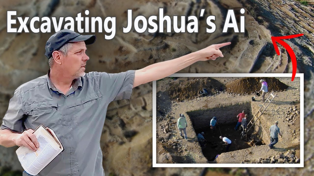
- In 2019, a new excavation at et‑Tell, directed by Titus Kennedy and including Kramer, opened several squares: inside the city wall, on the acropolis, north of the western gate, and on the southeast part of the mound.
- In each area, there was abundant Late Bronze pottery and a clear burn destruction layer (ash, charcoal) marking the violent end of a Late Bronze I city, confirming Garstang’s original assessment and contradicting Callaway’s “no Late Bronze occupation” conclusion.